For many years, residents along the Northumberland Shore in Cumberland County have been at the mercy of rising tides and the ever-present risk of damage from storm surges along areas of vulnerable coastline.
Unfortunately, until now there has been little way to measure the impact of rising seas and storm surges locally because the closest monitoring stations are near Shediac in New Brunswick and in Pictou County.
That is changing through a research project the Municipality of Cumberland is a partner on with the Nova Scotia Community College’s Applied Geomatics Research Group that will measure tides and storm surges to help predict coastal vulnerability in the area.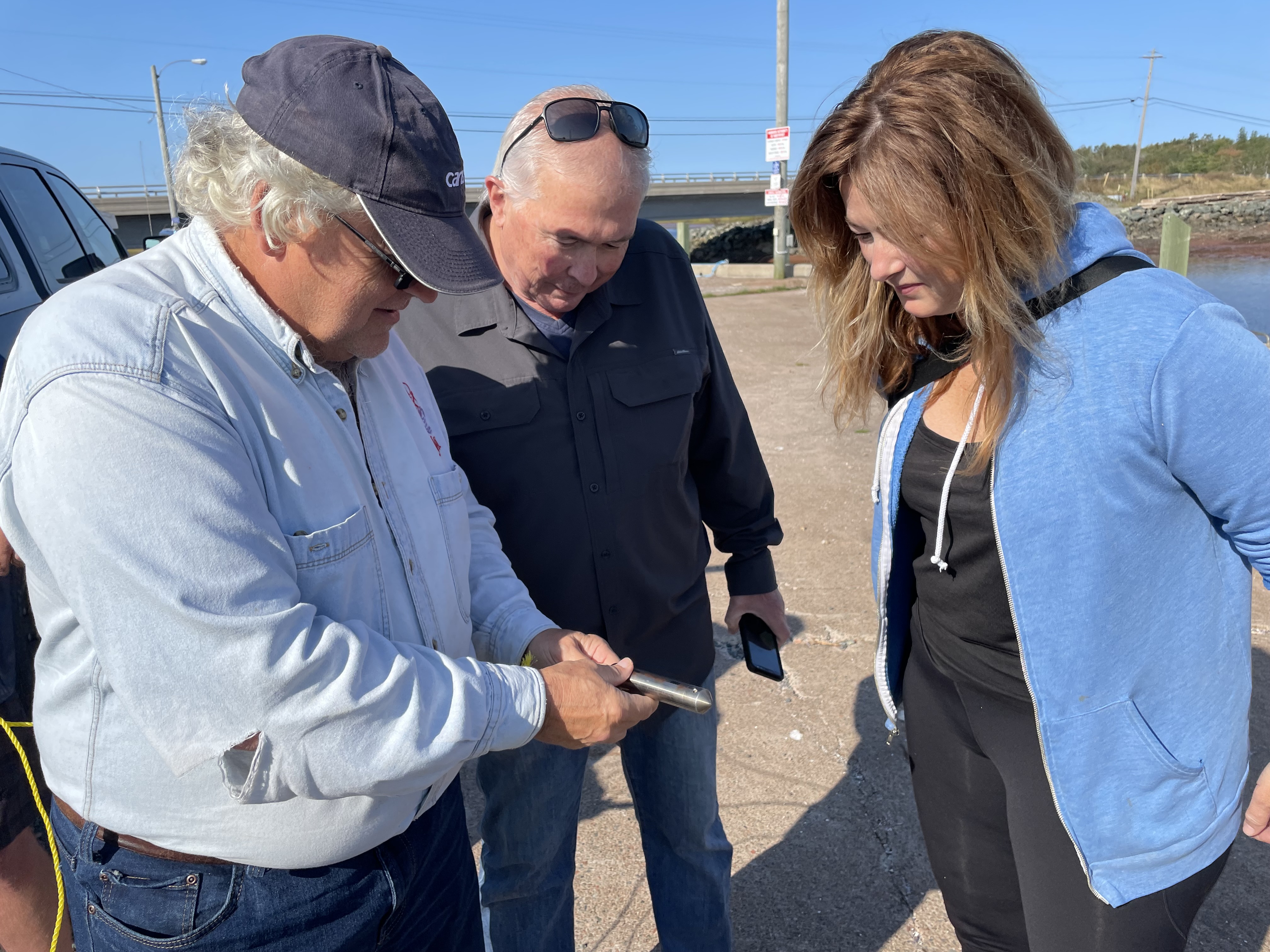
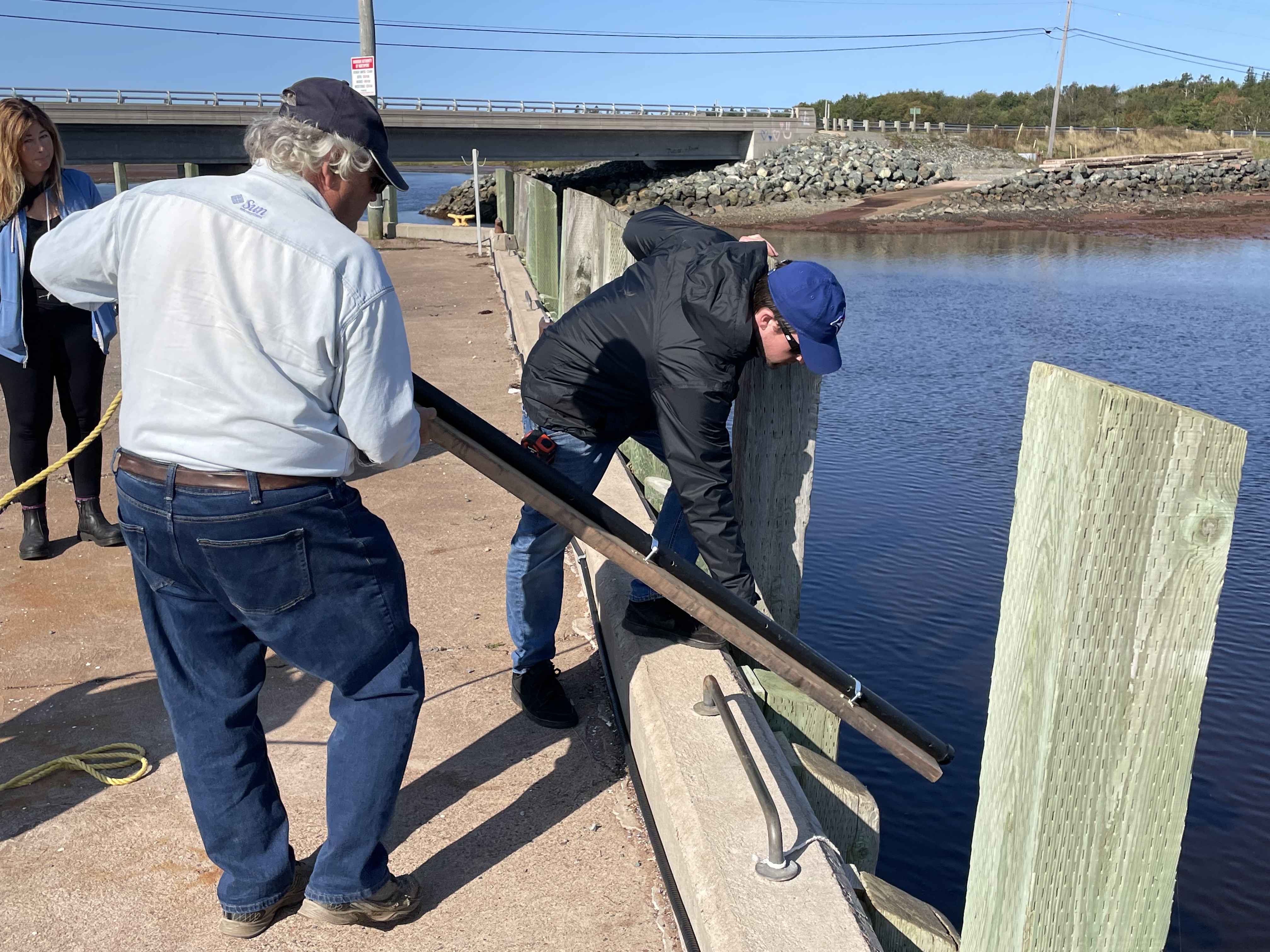
Tim Webster from NSCC, Steve Ferguson and Maggie Pitts from the Municipality of Cumberland look over a gauge that was placed in Northport Harbour as part of a research project that will measure tides and storm surges to help predict coastal vulnerability along the Northumberland Strait in Cumberland County. Darrell Cole – Municipality of Cumberland photo
Tim Webster and his team from NSCC were in Northport recently to place a gauge in the harbour to help develop a picture that should help with planning existing and future development along the coastline.
“We’ve installed a water level sensor that will be considered a tide gauge. Every 15 minutes it will record the amount of water above it with the intention that if we get any more big storms we’ll be able to get an accurate measurement of the storm surge,” Webster said. “This type of data is critical to build up good return period statistics like that was a one in a hundred-year storm or that was a one in a 200-year storm.”
The project is being funded by Research Nova Scotia and the Canadian Statistical Sciences Institute Atlantic through the Atlantic Climate Research Collaboration that funds research that will tackle complex data-focused programs related to climate change and its impact on coastal communities.
Webster and Dalhousie University’s Orla Murphy are receiving $165,222 for their research project exploring coastal vulnerability along the Northumberland Strait in Cumberland County. They will produce coastal flood vulnerability maps for present day and the future that will help inform planning and development decisions related to the coastline.
The study, which will also use provincial LIDAR to generate new coastal flood maps for the coastline, will run for approximately 30 months and will be turned over to the municipality when completed.
While there’s been much focus on rising sea levels and coastal vulnerability along the Bay of Fundy and Isthmus of Chignecto that separates Cumberland County and Nova Scotia from the rest of the continent, the shoreline along the Northumberland Strait in the three Maritime provinces is also vulnerable – as evidenced by a 2010 storm that sent a surge of water into Port Elgin, N.B. and along the Tidnish River in Nova Scotia.
“The Northumberland Strait is one of the areas that is most vulnerable to storm surge because of its shallow nature. They are always larger here, but to know how high and how frequent will be important issues moving forward.”
Using models for future planning is good, but Webster said statistical data is also critical.
Steve Ferguson, Municipality of Cumberland senior advisor, climate change and special projects, said the data the study will provide will prove invaluable for future planning needs as well as risk management.
“The results will be really important to us in terms of emergency planning and management planning while helping us with our future land-use plans as well, knowing where development goes,” Ferguson said. “It will give us a good idea of where we are today, where we were years ago and help determine where we’re going to be decades from now.”
Ferguson said comparing the model with actual data will verify the information or even begin the discussion on changing the models.